

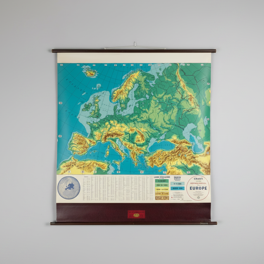
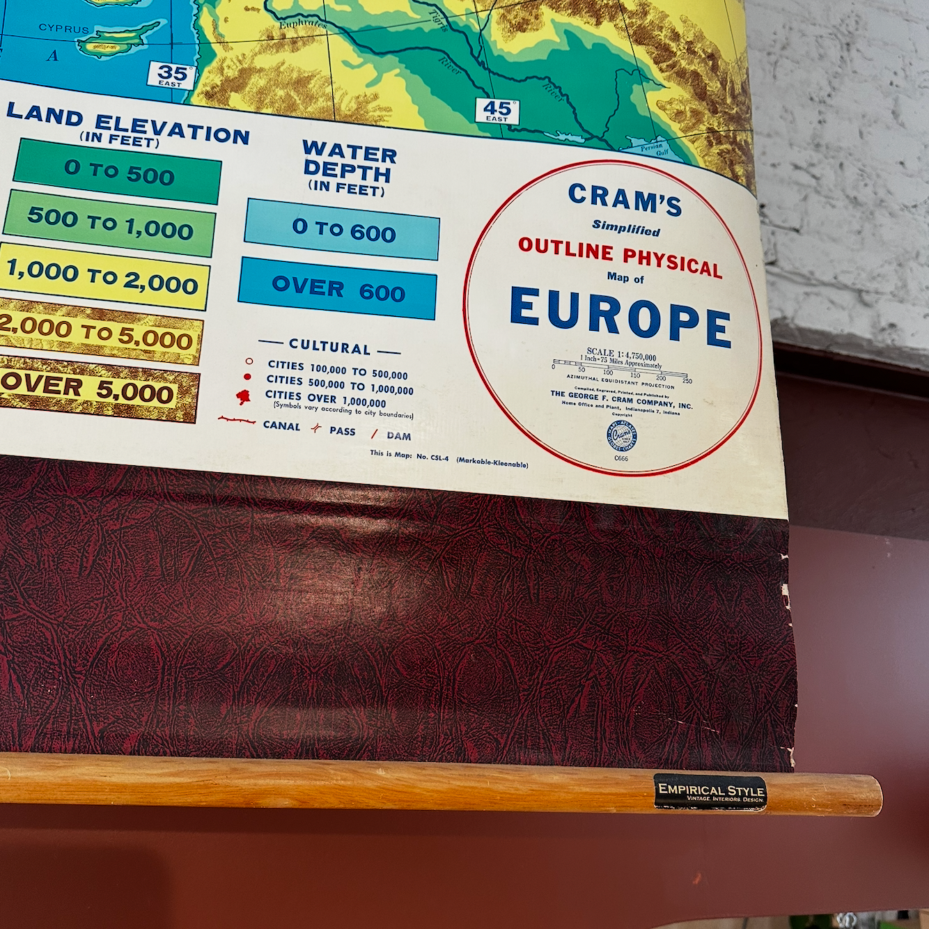
Cram’s Simplified Physical Map of Europe
This vintage Cram’s Simplified Physical Map of Europe is a fascinating piece of cartographic history. Published by The George F. Cram Company, Inc., the roll-up map is constructed of canvas with pine wood supports and depicts the political boundaries and physical geography of Europe as understood at the time of publication.
Both decorative and educational, this map offers a unique glimpse into Europe’s historical geography and would make an excellent addition to a collection, study, classroom, or vintage-inspired interior.
The map is in fair vintage condition, showing minimal surface wear consistent with its age and use.
Please contact the store to request further photos and a condition report: hello@cloverstore.uk
H = 145cm
W = 140cm
Choose options